
Keephills topographic map
Interactive map
Click on the map to display elevation.
About this map
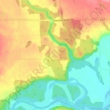
Name: Keephills topographic map, elevation, terrain.
Location: Keephills, Parkland County, Alberta, Canada (53.42144 -114.36879 53.46144 -114.32879)
Average elevation: 704 m
Minimum elevation: 659 m
Maximum elevation: 755 m