Geolocate

Gull Lake topographic map

Click on the map to display elevation.

About this map

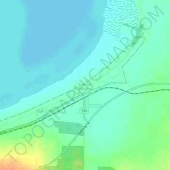
Name: Gull Lake topographic map, elevation, terrain.

Location: Gull Lake, Alberta, Canada (52.45552 -113.96318 52.47118 -113.92333)

Average elevation: 905 m

Minimum elevation: 896 m

Maximum elevation: 933 m

Gull Lake trails, hiking, mountain biking, running and outdoor activities

Gear up for your next adventure:

🧥Waterproof Pants - Keep dry during rainy hiking conditions
🧢Outdoor Cap - Protective cap for sun and rain during hikes
🧭GPS Handheld Device - Reliable GPS navigation for outdoor adventures
📷Outdoor Action Camera - Capture high-elevation views and rugged adventures
🥤Collapsible Travel Cup - Saves space and weight in your mess kit

As an Amazon Associate, this site earns from qualifying purchases at no extra cost to you.