Geolocate

Alaise topographic map

Click on the map to display elevation.

About this map
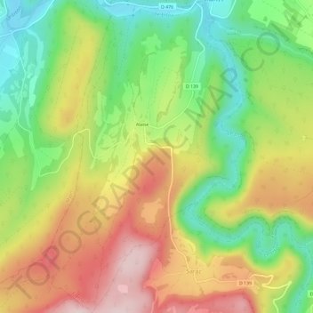
Name: Alaise topographic map, elevation, terrain.

Location: Alaise, Éternoz-Vallée-du-Lison, Besançon, Doubs, Bourgogne-Franche-Comté, France métropolitaine, 25330, France (46.99126 5.94429 47.03097 5.99212)

Average elevation: 458 m

Minimum elevation: 315 m

Maximum elevation: 620 m

Other topographic maps

Click on a map to view its topography, its elevation and its terrain.

Gear up for your next adventure:

🧥Insulated Jacket - Keep warm in cold outdoor conditions
🦌Outdoor Trail Camera - Monitor wildlife activity near your favorite spots
🦯Trekking Poles - Reduced impact on joints for steep topographic climbs
💡Compact LED Flashlight - Powerful and portable flashlight for outdoor use
🛏️Camping Sleeping Mat - Comfortable mats for sleeping outdoors

As an Amazon Associate, this site earns from qualifying purchases at no extra cost to you.