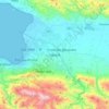
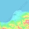
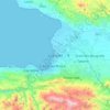
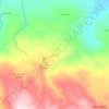
Gonâve Island topographic map
Click on the map to display elevation.
Gonâve Island
Made up of mostly limestone, the reef-fringed island of Gonâve is 60 km (37 mi) long and 15 km (9 mi) wide and covers an area of 743 km2 (287 sq mi). The island is mostly barren and hilly with the highest point reaching 778 m (2,552 ft). The island receives between 800 mm (31 in) to 1,600 mm (63 in) of rain a year, higher elevations representing the latter figure.
About this map
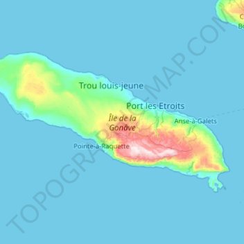
Name: Gonâve Island topographic map, elevation, terrain.
Average elevation: 54 m
Minimum elevation: -3 m
Maximum elevation: 771 m
Other topographic maps
Click on a map to view its topography, its elevation and its terrain.
Pic la Selle
Haiti > West > Commune Croix-des-Bouquets
A forest of pine trees is present above the elevation of 1,800 metres (5,900 ft). Celestus macrotus is present on the northeastern slopes of Pic la Selle. A report in the 1930s listed white-winged warblers, and eastern chat-tanagers, and Antillean siskins as being present on the mountain. A breeding colony of…
Average elevation: 2,364 m
Port-au-Prince
Haiti > West > Port-au-Prince
By then, the colonial administration was convinced that a capital needed to be chosen, in order to better control the French portion of Hispaniola (Saint-Domingue). For a time, Petit-Goâve and Léogâne vied for this honor, but both were eventually ruled out for various reasons. Neither was centrally located.…
Average elevation: 376 m