Geolocate

Esna topographic map

Click on the map to display elevation.

About this map

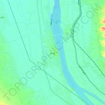
Name: Esna topographic map, elevation, terrain.

Location: Esna, Qena, Egypt (25.25367 32.51320 25.33367 32.59320)

Average elevation: 83 m

Minimum elevation: 72 m

Maximum elevation: 126 m

Other topographic maps

Click on a map to view its topography, its elevation and its terrain.

Nile

Egypt > Qena > Esna

Average elevation: 79 m

Gear up for your next adventure:

🕶️Polarized Sunglasses - Reduces glare from snow and water at high elevations
🎒Fully Waterproof Backpack - Total protection for photography gear and electronics
🩹Moleskin Blister Pads - Direct protection for painful foot pressure points
🧭GPS Outdoor Watch - Smart watch for navigation and fitness tracking in nature
🔥Camping Stove - Portable stoves to cook outdoors with ease

As an Amazon Associate, this site earns from qualifying purchases at no extra cost to you.