Geolocate

Nile topographic map

Click on the map to display elevation.

About this map

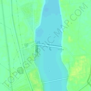
Name: Nile topographic map, elevation, terrain.

Location: Nile, Esna, Qena, Egypt (25.31750 32.55482 25.31794 32.55494)

Average elevation: 79 m

Minimum elevation: 72 m

Maximum elevation: 88 m

Gear up for your next adventure:

🧴Insect Repellent - Protect yourself from bugs during outdoor adventures
🚑Survival Whistle - Signal for help across long distances in mountains
🧢Hiking Hat - Sun-protective and breathable hats for long treks
🎒Backpack Rain Cover - External shield to keep your entire pack dry
🧥Softshell Jacket - Windproof and breathable jacket for hiking

As an Amazon Associate, this site earns from qualifying purchases at no extra cost to you.