
Saint-Malo topographic map
Click on the map to display elevation.
About this map
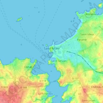
Name: Saint-Malo topographic map, elevation, terrain.
Average elevation: 15 m
Minimum elevation: -1 m
Maximum elevation: 64 m
Other topographic maps
Click on a map to view its topography, its elevation and its terrain.
Le Bois Bougemont
France > Brittany > Ille-et-Vilaine > La Guerche-de-Bretagne
Average elevation: 72 m