Brittany topographic maps
Click on a map to view its topography, its elevation and its terrain.
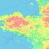
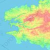
Brittany
France > Brittany > Landerneau > Loudéac
The Armorican massif reaches its maximal elevation outside of Brittany, in neighbouring Mayenne, at 417 m, and slopes towards the west before straightening on its western extremity, with the Montagnes Noires and the Monts d'Arrée. The highest hill in Brittany is the Roc'h Ruz in the Monts d'Arrée, at 385 m…
Average elevation: 50 m


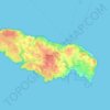
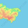
Hœdic
Hœdic is a low, undulating plateau, 800 metres (2,600 ft) wide by 2,500 metres (8,200 ft) long. Its peak, at an altitude of 22 metres (72 ft), is located in the middle of its eastern part, on the road that leads from the village to the hamlet of the Phare. The island's base consists essentially of granite and…
Average elevation: 1 m

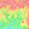



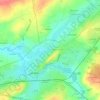



Ille-et-Vilaine
In the extreme south of the department the Vilaine goes through a slower decrease in elevation in a small corridor in the area of the city of Redon; in this area, the Vilaine is known for its frequent floods during its recent history, often because of too-intensive draining of agricultural areas around Rennes…
Average elevation: 80 m






Penmarc'h
The territory of the town (16.39 km2) is particularly flat; its altitude ranges from -1 to 23 m amsl. There are many marshy lagoons, some of which have been drained and filled, especially in St. Guénolé to save space or habitat for the installation of local handicrafts.
Average elevation: 7 m


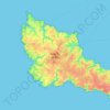
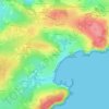
Belle-Île-en-Mer
The island measures 17 by 9 kilometres (10+1⁄2 by 5+1⁄2 miles) and has an average elevation of 40 metres (130 feet). The area is about 84 km2 (32+1⁄2 sq mi). The coasts are a mixture between dangerously sharp cliff edges on the southwest side, the Côte Sauvage ("wild coast"), and placid beaches, the…
Average elevation: 13 m