
Semington topographic map
Click on the map to display elevation.
About this map
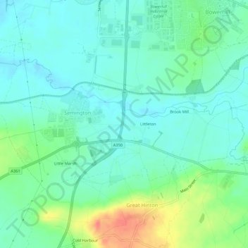
Name: Semington topographic map, elevation, terrain.
Location: Semington, Wiltshire, England, United Kingdom (51.33409 -2.16585 51.35148 -2.11285)
Average elevation: 48 m
Minimum elevation: 32 m
Maximum elevation: 91 m
Other topographic maps
Click on a map to view its topography, its elevation and its terrain.