
Heber topographic map
Click on the map to display elevation.
About this map
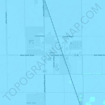
Name: Heber topographic map, elevation, terrain.
Location: Heber, Imperial County, California, 92224, United States (32.71167 -115.55073 32.75167 -115.51073)
Average elevation: -3 m
Minimum elevation: -8 m
Maximum elevation: 2 m
Other topographic maps
Click on a map to view its topography, its elevation and its terrain.
Salton City
United States > California > Imperial County
In the 1970s, most of the buildings constructed along the shoreline, including the city's marina were abandoned due to rising sea elevation. In the 1980s, the Imperial Irrigation District took proactive water conservation measures to reduce the flow of unused canal water into the Salton Sea. Throughout the…
Average elevation: -35 m
Calipatria
United States > California > Imperial County > Calipatria
At an elevation of 180 feet (55 m) below sea level, Calipatria is the lowest elevation city in the western hemisphere. The city currently claims to have the "tallest flagpole (184 feet) where the flag flies at sea level" at 184 feet (56 m), so their American flag will always fly above sea level. According to…
Average elevation: -53 m