Geolocate

Oborishte topographic map

Click on the map to display elevation.

About this map

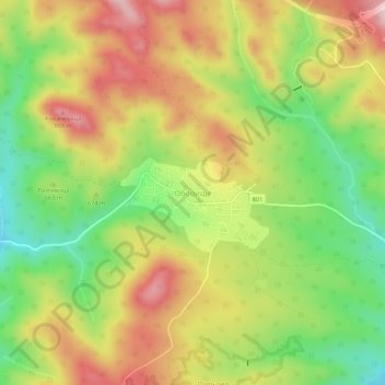
Name: Oborishte topographic map, elevation, terrain.

Location: Oborishte, Panagiurishte, Pazardzhik, Bulgaria (42.49665 24.05706 42.53665 24.09706)

Average elevation: 676 m

Minimum elevation: 538 m

Maximum elevation: 818 m

Other topographic maps

Click on a map to view its topography, its elevation and its terrain.

Pazardzik

Bulgaria > Pazardzhik

Average elevation: 300 m

Gear up for your next adventure:

🚑Survival Whistle - Signal for help across long distances in mountains
🚲Bike Repair Kit - Essential tools for on-trail mechanical issues
🔨Vehicle Emergency Tool - Safety tool for remote road trips to trailheads
🛰️Satellite Messenger - Emergency communication for areas with no cell service
🧦Crew Hiking Socks - Comfortable socks for long-distance hikes

As an Amazon Associate, this site earns from qualifying purchases at no extra cost to you.