
Doddington topographic map
Interactive map
Click on the map to display elevation.
About this map
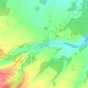
Name: Doddington topographic map, elevation, terrain.
Location: Doddington, Kent, South East, England, United Kingdom (51.27985 0.76307 51.28425 0.78013)
Average elevation: 94 m
Minimum elevation: 61 m
Maximum elevation: 142 m
Other topographic maps
Click on a map to view its topography, its elevation and its terrain.
Doddington
United Kingdom > England > Doddington
Doddington, Cambridgeshire, East of England, England, PE15 0SP, United Kingdom
Average elevation: 2 m
Doddington
United Kingdom > England > Doddington
Doddington, Shropshire, West Midlands, England, DY14 0HJ, United Kingdom
Average elevation: 290 m