
Kattleberg topographic map
Click on the map to display elevation.
About this map
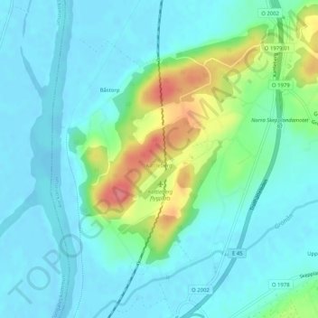
Name: Kattleberg topographic map, elevation, terrain.
Location: Kattleberg, Ale kommun, Västra Götaland County, 446 37, Sweden (57.98088 12.14323 57.98098 12.14333)
Average elevation: 17 m
Minimum elevation: -5 m
Maximum elevation: 74 m
Other topographic maps
Click on a map to view its topography, its elevation and its terrain.