Geolocate

Multan topographic map

Click on the map to display elevation.

About this map
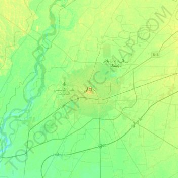
Name: Multan topographic map, elevation, terrain.

Location: Multan, Multan City Tehsil, Multan District, Multan Division, Punjab, 66000, Pakistan (30.03784 71.31197 30.35784 71.63197)

Average elevation: 125 m

Minimum elevation: 114 m

Maximum elevation: 142 m

Other topographic maps

Click on a map to view its topography, its elevation and its terrain.

Shah Shams Park

Pakistan > Punjab > Multan District > Multan

Average elevation: 126 m

Gear up for your next adventure:

🚲Heavy Duty Bike Lock - Secure your bike at the trailhead or during stops
☕Camping Coffee Maker - Brew fresh coffee anywhere on the topographic map
🧭GPS Handheld Device - Reliable GPS navigation for outdoor adventures
🥾Lightweight Hiking Boots - Boots for comfort and mobility on long hikes
👟Leg Gaiters - Keep debris, mud, and snow out of your boots

As an Amazon Associate, this site earns from qualifying purchases at no extra cost to you.