
Grong topographic map
Interactive map
Click on the map to display elevation.
About this map
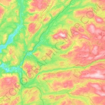
Name: Grong topographic map, elevation, terrain.
Location: Grong, Trøndelag, Norvège (64.33236 12.07088 64.72637 13.09097)
Average elevation: 396 m
Minimum elevation: 8 m
Maximum elevation: 1,125 m
Other topographic maps
Click on a map to view its topography, its elevation and its terrain.
Tømmerholt
Norvège > Trøndelag > Trondheim
Tømmerholt, Lerkendal, Trondheim, Trøndelag, Norvège, Tømmerholtdammen
Average elevation: 262 m