
Selbu topographic map
Interactive map
Click on the map to display elevation.
About this map
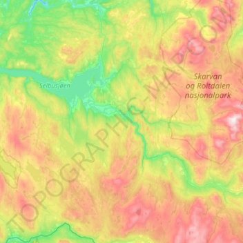
Name: Selbu topographic map, elevation, terrain.
Location: Selbu, Trøndelag, Norvège (63.00385 10.62050 63.34789 11.63177)
Average elevation: 549 m
Minimum elevation: 92 m
Maximum elevation: 1,433 m
Other topographic maps
Click on a map to view its topography, its elevation and its terrain.
Tømmerholt
Norvège > Trøndelag > Trondheim
Tømmerholt, Lerkendal, Trondheim, Trøndelag, Norvège, Tømmerholtdammen
Average elevation: 262 m