
Lexmond topographic map
Click on the map to display elevation.
About this map
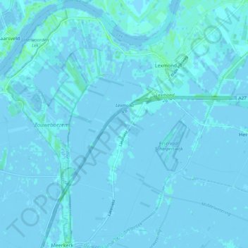
Name: Lexmond topographic map, elevation, terrain.
Location: Lexmond, Vijfheerenlanden, Utrecht, Netherlands (51.92057 4.97540 51.97822 5.06464)
Average elevation: 0 m
Minimum elevation: -3 m
Maximum elevation: 6 m
Other topographic maps
Click on a map to view its topography, its elevation and its terrain.