
Mountain View topographic map
Click on the map to display elevation.
About this map
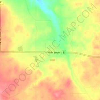
Name: Mountain View topographic map, elevation, terrain.
Location: Mountain View, Division No. 3, Alberta, T0K 1N0, Canada (49.11333 -113.62000 49.15333 -113.58000)
Average elevation: 1,317 m
Minimum elevation: 1,272 m
Maximum elevation: 1,348 m
Division No. 3 trails, hiking, mountain biking, running and outdoor activities
Other topographic maps
Click on a map to view its topography, its elevation and its terrain.
St. Mary Reservoir Provincial Recreation Area
Canada > Alberta > Division No. 3
Average elevation: 1,101 m