
Noble County topographic map
Click on the map to display elevation.
About this map
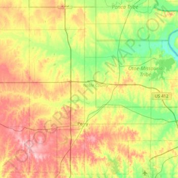
Name: Noble County topographic map, elevation, terrain.
Location: Noble County, Oklahoma, United States (36.15922 -97.46171 36.60008 -96.88657)
Average elevation: 310 m
Minimum elevation: 255 m
Maximum elevation: 388 m
Other topographic maps
Click on a map to view its topography, its elevation and its terrain.
Southwest Oklahoma City Sludge Lagoon Dam
United States > Oklahoma > Cleveland County > Oklahoma City
Average elevation: 348 m
Lake Thunderbird Dam
United States > Oklahoma > Cleveland County > Norman > Little Axe
Average elevation: 318 m