
Onnen topographic map
Interactive map
Click on the map to display elevation.
About this map
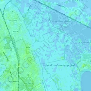
Name: Onnen topographic map, elevation, terrain.
Location: Onnen, Groningen, Niederlande (53.13349 6.62915 53.18378 6.69029)
Average elevation: 2 m
Minimum elevation: -5 m
Maximum elevation: 8 m
Other topographic maps
Click on a map to view its topography, its elevation and its terrain.
Garmerwolde
Niederlande > Groningen > Groningen
Garmerwolde, Groningen, Niederlande
Average elevation: -1 m