Geolocate

High Halden topographic map

Click on the map to display elevation.

About this map

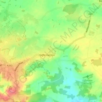
Name: High Halden topographic map, elevation, terrain.

Location: High Halden, Ashford, Kent, England, United Kingdom (51.08305 0.67919 51.12755 0.75029)

Average elevation: 37 m

Minimum elevation: 7 m

Maximum elevation: 76 m

Gear up for your next adventure:

🥾Approach Shoes - Shoes designed for climbing approaches and rugged trails
🧊Insulated Water Bottle - Keeps drinks cold in summer and prevents freezing in winter
🧥Softshell Hiking Jacket - The perfect balance of wind protection and breathability
💧Hydration Pack - Hands-free hydration system for long hikes
🛁Quick-Dry Microfiber Towel - Space-saving towel that dries rapidly on the move

As an Amazon Associate, this site earns from qualifying purchases at no extra cost to you.