Geolocate

Walgherton topographic map

Click on the map to display elevation.

About this map

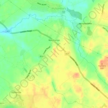
Name: Walgherton topographic map, elevation, terrain.

Location: Walgherton, Wybunbury, Cheshire East, England, United Kingdom (53.02344 -2.48262 53.04372 -2.43805)

Average elevation: 63 m

Minimum elevation: 42 m

Maximum elevation: 84 m

Gear up for your next adventure:

🧦Outdoor Socks - Durable socks designed for hiking and outdoor sports
🧼Travel Hand Sanitizer - Keep hands clean when water is scarce
🏕️Camping Hammock - Integrated protection for sleeping between trees
Family Camping Tent - Spacious tent suitable for family camping trips
🔭Compact Binoculars - Lightweight optics for scouting trails and wildlife

As an Amazon Associate, this site earns from qualifying purchases at no extra cost to you.