Geolocate

Bierces topographic map

Click on the map to display elevation.

About this map
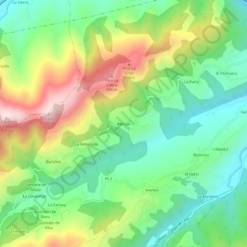
Name: Bierces topographic map, elevation, terrain.

Location: Bierces, Piloña, Asturias, 33530, España (43.31477 -5.42934 43.35477 -5.38934)

Average elevation: 376 m

Minimum elevation: 158 m

Maximum elevation: 746 m

Other topographic maps

Click on a map to view its topography, its elevation and its terrain.

Espinaredo

España > Asturias > Piloña

Average elevation: 637 m

Miyares

España > Asturias > Piloña

Average elevation: 221 m

San Román de Villa

España > Asturias > Piloña

Average elevation: 233 m

Sorribas

España > Asturias > Piloña

Average elevation: 137 m

Borines

España > Asturias > Piloña

Average elevation: 338 m

Miyares

España > Asturias > Piloña

Average elevation: 221 m

Gear up for your next adventure:

🥤Collapsible Travel Cup - Saves space and weight in your mess kit
🛰️Satellite Messenger - Emergency communication for areas with no cell service
⛺Camping Groundsheet - Protect your tent from moisture and dirt
🧥Waterproof Hiking Jacket - Protect yourself from rain and wind while hiking
⛺Lightweight Backpacking Tent - Compact tent for efficient hiking trips

As an Amazon Associate, this site earns from qualifying purchases at no extra cost to you.