
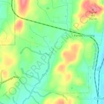
Dry Branch topographic map
Click on the map to display elevation.
About this map
Name: Dry Branch topographic map, elevation, terrain.
Location: Dry Branch, Whitfield County, Georgia, 30710, United States (34.97062 -84.96851 34.97232 -84.96767)
Average elevation: 294 m
Minimum elevation: 258 m
Maximum elevation: 347 m
Other topographic maps
Click on a map to view its topography, its elevation and its terrain.