Geolocate

Cedarville topographic map

Click on the map to display elevation.

About this map
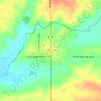
Name: Cedarville topographic map, elevation, terrain.

Location: Cedarville, Stephenson County, Illinois, 61013, United States (42.36850 -89.64284 42.38316 -89.62898)

Average elevation: 255 m

Minimum elevation: 234 m

Maximum elevation: 280 m

Other topographic maps

Click on a map to view its topography, its elevation and its terrain.

Gear up for your next adventure:

🧴Outdoor Sunscreen - High SPF protection for high-altitude UV exposure
⛺Lightweight Backpacking Tent - Compact tent for efficient hiking trips
🗺️Topographic Maps - Detailed maps to explore trails, mountains, and wilderness areas
🧥Waterproof Jacket - Lightweight rain jackets for hiking and outdoor activities
🧶550 Survival Paracord - Versatile utility cord for emergency repairs and rigging

As an Amazon Associate, this site earns from qualifying purchases at no extra cost to you.