
Highgate Common topographic map
Click on the map to display elevation.
About this map
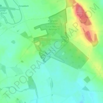
Name: Highgate Common topographic map, elevation, terrain.
Average elevation: 92 m
Minimum elevation: 67 m
Maximum elevation: 146 m
Other topographic maps
Click on a map to view its topography, its elevation and its terrain.
Lutley
United Kingdom > England > Staffordshire > South Staffordshire > Enville
Average elevation: 100 m