Geolocate

Runhof topographic map

Click on the map to display elevation.

About this map

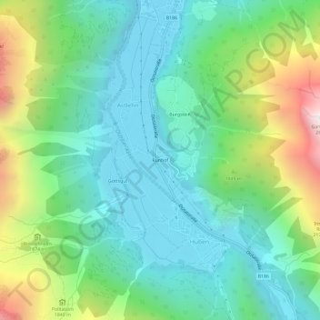
Name: Runhof topographic map, elevation, terrain.

Location: Runhof, Astlehn, Längenfeld, Bezirk Imst, Tyrol, 6444, Austria (47.03046 10.94695 47.07046 10.98695)

Average elevation: 1,607 m

Minimum elevation: 1,159 m

Maximum elevation: 2,762 m

Gear up for your next adventure:

🔦LED Flashlight - Powerful and long-lasting flashlight for camping and emergencies
❄️Traction Ice Cleats - Slip-on spikes for icy trails and winter hiking
🧭Orienteering Kit - Tools for map reading and navigation in the wild
🥾Mountain Hiking Boots - High-traction boots for rocky terrain
🧢Outdoor Cap - Protective cap for sun and rain during hikes

As an Amazon Associate, this site earns from qualifying purchases at no extra cost to you.