Geolocate

Shahbad topographic map

Click on the map to display elevation.

About this map
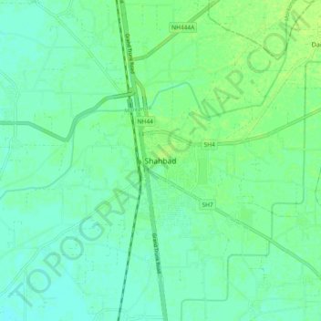
Name: Shahbad topographic map, elevation, terrain.

Location: Shahbad, Kurukshetra, Haryana, 132135, India (30.12617 76.82786 30.20617 76.90786)

Average elevation: 265 m

Minimum elevation: 260 m

Maximum elevation: 271 m

Other topographic maps

Click on a map to view its topography, its elevation and its terrain.

Markanda

India > Haryana > Shahbad

Average elevation: 263 m

Gear up for your next adventure:

💡Compact LED Flashlight - Powerful and portable flashlight for outdoor use
🔦LED Flashlight - Powerful and long-lasting flashlight for camping and emergencies
🪑Insulated Seat Pad - Protect your seat from cold rocks and wet logs
🥾Trekking Poles - Adjustable trekking poles to reduce knee stress and improve stability
🧢Outdoor Visor - Breathable visor for sunny hikes

As an Amazon Associate, this site earns from qualifying purchases at no extra cost to you.