Geolocate

Mark topographic map

Click on the map to display elevation.

About this map

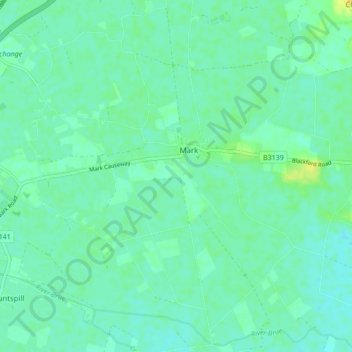
Name: Mark topographic map, elevation, terrain.

Location: Mark, Somerset, England, United Kingdom (51.19593 -2.93495 51.24963 -2.85775)

Average elevation: 6 m

Minimum elevation: 0 m

Maximum elevation: 20 m

Gear up for your next adventure:

🧭GPS Outdoor Watch - Smart watch for navigation and fitness tracking in nature
🧥Softshell Hiking Jacket - The perfect balance of wind protection and breathability
🚲Heavy Duty Bike Lock - Secure your bike at the trailhead or during stops
🧥Waterproof Hiking Jacket - Protect yourself from rain and wind while hiking
Camping Coffee Maker - Brew fresh coffee anywhere on the topographic map

As an Amazon Associate, this site earns from qualifying purchases at no extra cost to you.