
Hadlow topographic map
Interactive map
Click on the map to display elevation.
About this map
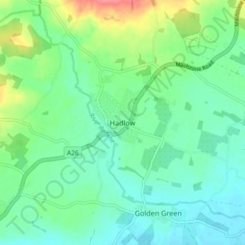
Name: Hadlow topographic map, elevation, terrain.
Location: Hadlow, Kent, South East, England, TN11 0EH, United Kingdom (51.20505 0.31808 51.24505 0.35808)
Average elevation: 33 m
Minimum elevation: 14 m
Maximum elevation: 82 m