
Berea topographic map
Click on the map to display elevation.
Berea
Berea is located on the border of the Cumberland Plateau. The area has a mountainous appearance, but most outcroppings in the area have a maximum elevation of 2,500 feet or 760 metres.
About this map
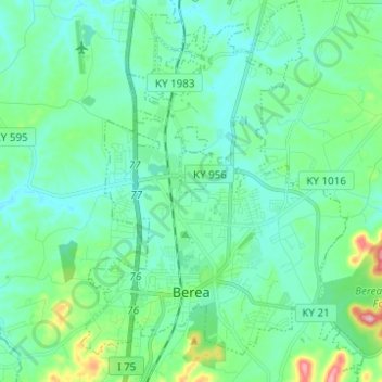
Name: Berea topographic map, elevation, terrain.
Location: Berea, Madison County, Kentucky, United States (37.54556 -84.33198 37.64341 -84.23968)
Average elevation: 300 m
Minimum elevation: 261 m
Maximum elevation: 463 m
Other topographic maps
Click on a map to view its topography, its elevation and its terrain.
Fort Boonesborough State Park
United States > Kentucky > Madison County > Boonesborough
Average elevation: 236 m