Geolocate

Swyncombe topographic map

Click on the map to display elevation.

About this map

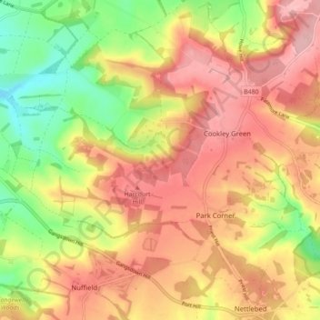
Name: Swyncombe topographic map, elevation, terrain.

Location: Swyncombe, South Oxfordshire, Oxfordshire, England, United Kingdom (51.57959 -1.04140 51.62399 -0.95424)

Average elevation: 174 m

Minimum elevation: 88 m

Maximum elevation: 240 m

Other topographic maps

Click on a map to view its topography, its elevation and its terrain.

Gear up for your next adventure:

🥫Freeze-Dried Meals - Lightweight, high-calorie nutrition for multi-day treks
🩹Compact First Aid Kit - Pre-packed essentials for common trail injuries
🏃Hydration Running Vest - Carry water and maps close to your body for speed
🪑Insulated Seat Pad - Protect your seat from cold rocks and wet logs
💧Hydration Bladder - Hands-free hydration solution for long treks

As an Amazon Associate, this site earns from qualifying purchases at no extra cost to you.