
Iona topographic map
Click on the map to display elevation.
About this map
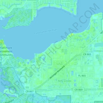
Name: Iona topographic map, elevation, terrain.
Location: Iona, Lee County, Florida, United States (26.49185 -81.99733 26.54384 -81.92529)
Average elevation: 2 m
Minimum elevation: -1 m
Maximum elevation: 9 m
Other topographic maps
Click on a map to view its topography, its elevation and its terrain.
Highland Woods Golf & Country Club
United States > Florida > Lee County > Bonita Springs
Average elevation: 5 m