
Walo topographic map
Interactive map
Click on the map to display elevation.
About this map
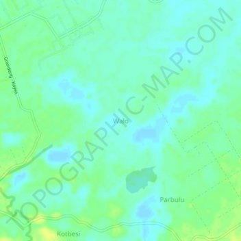
Name: Walo topographic map, elevation, terrain.
Location: Walo, Buru, Moluques, Indonésie (-3.44160 126.95930 -3.40160 126.99930)
Average elevation: 8 m
Minimum elevation: 2 m
Maximum elevation: 18 m
Other topographic maps
Click on a map to view its topography, its elevation and its terrain.