Geolocate

Primrosehill topographic map

Click on the map to display elevation.

About this map

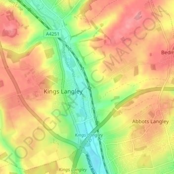
Name: Primrosehill topographic map, elevation, terrain.

Location: Primrosehill, Abbots Langley, Three Rivers, Hertfordshire, England, WD4 8HR, United Kingdom (51.69448 -0.46150 51.73448 -0.42150)

Average elevation: 111 m

Minimum elevation: 63 m

Maximum elevation: 147 m

Other topographic maps

Click on a map to view its topography, its elevation and its terrain.

Gear up for your next adventure:

🧣Evaporative Cooling Towel - Beat the heat during intense summer climbs
💡Solar Camping Lamp - Eco-friendly lighting for campsites
🥾Mountain Hiking Shoes - Shoes with superior grip for mountainous terrain
🛏️Sleeping Bag - Warm and compact sleeping bags for outdoor camping
🥽Outdoor Goggles - Protective eyewear for outdoor activities

As an Amazon Associate, this site earns from qualifying purchases at no extra cost to you.