
Huron East topographic map
Interactive map
Click on the map to display elevation.
About this map
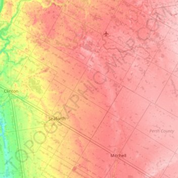
Name: Huron East topographic map, elevation, terrain.
Location: Huron East, Huron County, Ontario, Canada (43.41633 -81.53415 43.82633 -81.03120)
Average elevation: 330 m
Minimum elevation: 244 m
Maximum elevation: 382 m
Huron County trails, hiking, mountain biking, running and outdoor activities
Other topographic maps
Click on a map to view its topography, its elevation and its terrain.