
Zurich topographic map
Interactive map
Click on the map to display elevation.
About this map
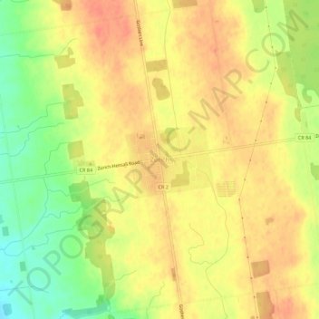
Name: Zurich topographic map, elevation, terrain.
Location: Zurich, Bluewater, Huron County, Ontario, N0M 2T0, Canada (43.40113 -81.64470 43.44113 -81.60470)
Average elevation: 253 m
Minimum elevation: 223 m
Maximum elevation: 269 m
Huron County trails, hiking, mountain biking, running and outdoor activities