Geolocate

West Overton topographic map

Click on the map to display elevation.

About this map

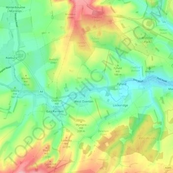
Name: West Overton topographic map, elevation, terrain.

Location: West Overton, Wiltshire, England, United Kingdom (51.38134 -1.83074 51.45080 -1.76511)

Average elevation: 186 m

Minimum elevation: 131 m

Maximum elevation: 275 m

Gear up for your next adventure:

🥾Lightweight Hiking Boots - Boots for comfort and mobility on long hikes
🩹Compact First Aid Kit - Pre-packed essentials for common trail injuries
🚲MTB Frame Bag - Carry tools and maps directly on your bicycle frame
Backpacking Tent - Lightweight tent for long-distance hiking trips
🥾Trail Running Shoes - Lightweight and durable shoes for trail running

As an Amazon Associate, this site earns from qualifying purchases at no extra cost to you.