Geolocate

Syalna topographic map

Click on the map to display elevation.

About this map

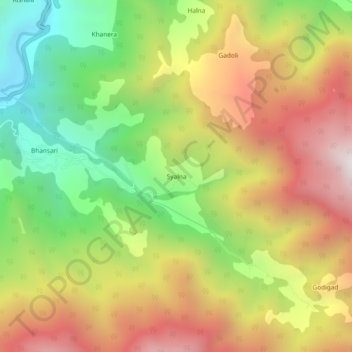
Name: Syalna topographic map, elevation, terrain.

Location: Syalna, Rajgarhi, Uttarkashi district, Uttarakhand, India (30.81858 78.28344 30.85858 78.32344)

Average elevation: 2,049 m

Minimum elevation: 1,326 m

Maximum elevation: 2,811 m

Other topographic maps

Click on a map to view its topography, its elevation and its terrain.

Arun

India > Uttarakhand > Rajgarhi

Average elevation: 1,925 m

Gear up for your next adventure:

🥾Waterproof Hiking Boots - Boots keeping your feet dry in wet conditions
🥾Trekking Poles - Adjustable trekking poles to reduce knee stress and improve stability
🔥Camping Stove - Portable stoves to cook outdoors with ease
🧥Waterproof Hiking Jacket - Protect yourself from rain and wind while hiking
Lightweight Camping Tent - Portable shelter optimized for Canadian backcountry camping

As an Amazon Associate, this site earns from qualifying purchases at no extra cost to you.