Geolocate

Doba topographic map

Click on the map to display elevation.

About this map

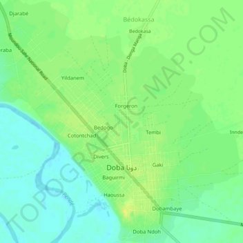
Name: Doba topographic map, elevation, terrain.

Location: Doba, Logone Oriental, Chad (8.64602 16.82790 8.68873 16.87171)

Average elevation: 388 m

Minimum elevation: 378 m

Maximum elevation: 398 m

Other topographic maps

Click on a map to view its topography, its elevation and its terrain.

Ngaram-Ngolé

Chad > Logone Oriental

Average elevation: 485 m

Gear up for your next adventure:

🩹Compact First Aid Kit - Pre-packed essentials for common trail injuries
💡Solar Camping Lamp - Eco-friendly lighting for campsites
🧢Hiking Hat - Sun-protective and breathable hats for long treks
🚲Handlebar Phone Mount - View topographic-map.com live while cycling
🥾Approach Shoes - Shoes designed for climbing approaches and rugged trails

As an Amazon Associate, this site earns from qualifying purchases at no extra cost to you.