
Ngaram-Ngolé topographic map
Interactive map
Click on the map to display elevation.
About this map
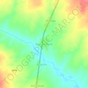
Name: Ngaram-Ngolé topographic map, elevation, terrain.
Location: Ngaram-Ngolé, Logone Oriental, Chad (7.90861 15.64366 7.94861 15.68366)
Average elevation: 485 m
Minimum elevation: 456 m
Maximum elevation: 523 m
Other topographic maps
Click on a map to view its topography, its elevation and its terrain.