
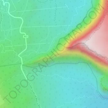
Coteau Monique topographic map
Interactive map
Click on the map to display elevation.
About this map
Name: Coteau Monique topographic map, elevation, terrain.
Average elevation: 1,586 m
Minimum elevation: 1,365 m
Maximum elevation: 2,091 m
Other topographic maps
Click on a map to view its topography, its elevation and its terrain.
l'Éperon
France > La Réunion > Salazie
l'Éperon, Salazie, Saint-Benoît, La Réunion, 97433, France
Average elevation: 937 m
Piton des Neiges
France > La Réunion > Salazie
Piton des Neiges, Salazie, Saint-Benoît, La Réunion, 97433, France
Average elevation: 2,466 m
Réserve biologique dirigée de Bébour
France > La Réunion > Salazie
Réserve biologique dirigée de Bébour, Route Forestière de Bébour-Bélouve, Trou Blanc, Salazie, Saint-Benoît, La Réunion, 97433, France
Average elevation: 1,597 m
Trou de Fer
France > La Réunion > Salazie
Trou de Fer, Salazie, Saint-Benoît, La Réunion, 97433, France
Average elevation: 1,148 m