Geolocate

Mount Evans topographic map

Click on the map to display elevation.

About this map
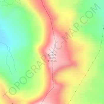
Name: Mount Evans topographic map, elevation, terrain.

Location: Mount Evans, Lake County, Colorado, United States (39.25688 -106.18174 39.25698 -106.18164)

Average elevation: 3,828 m

Minimum elevation: 3,535 m

Maximum elevation: 4,144 m

Gear up for your next adventure:

🎒Fully Waterproof Backpack - Total protection for photography gear and electronics
🕶️Polarized Sunglasses - Protect your eyes with durable polarized lenses
🧥Fleece Jacket - Warm and lightweight jacket for layering
🧢Outdoor Visor - Breathable visor for sunny hikes
🔦LED Flashlight - Powerful and long-lasting flashlight for camping and emergencies

As an Amazon Associate, this site earns from qualifying purchases at no extra cost to you.