Geolocate

Hulme Walfield topographic map

Click on the map to display elevation.

About this map

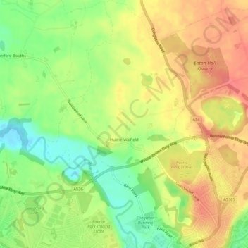
Name: Hulme Walfield topographic map, elevation, terrain.

Location: Hulme Walfield, Cheshire East, England, United Kingdom (53.16866 -2.24573 53.20055 -2.21045)

Average elevation: 99 m

Minimum elevation: 63 m

Maximum elevation: 129 m

Gear up for your next adventure:

🧦Thermal Socks - Warm socks for winter hiking or camping
🥾Durable Hiking Shoes - Long-lasting shoes for frequent hiking
🥾Hiking Gaiters - Protect legs and shoes from mud, snow, and debris
🕯️Camping Lantern - Illuminates your entire campsite with high-efficiency LEDs
🚑Survival Whistle - Signal for help across long distances in mountains

As an Amazon Associate, this site earns from qualifying purchases at no extra cost to you.