Geolocate

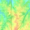
Gardner topographic map

Click on the map to display elevation.

About this map
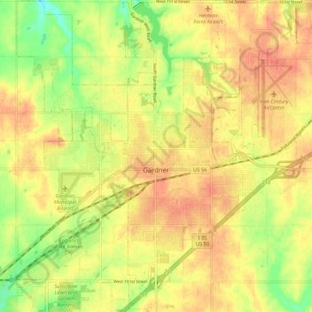
Name: Gardner topographic map, elevation, terrain.

Location: Gardner, Johnson County, Kansas, United States (38.77400 -94.97370 38.85484 -94.87142)

Average elevation: 317 m

Minimum elevation: 286 m

Maximum elevation: 336 m

Other topographic maps

Click on a map to view its topography, its elevation and its terrain.
Aubry

United States > Kansas > Johnson County

Average elevation: 325 m

Frontier Park

United States > Kansas > Johnson County > Olathe

Average elevation: 313 m

Kill Creek Park

United States > Kansas > Johnson County > De Soto

Average elevation: 275 m

Olathe

United States > Kansas > Johnson County > Olathe

Average elevation: 302 m

Lenexa

United States > Kansas > Johnson County > Lenexa

Average elevation: 290 m

Gear up for your next adventure:

🎒Hiking Backpack - Lightweight and ergonomic backpacks for day hikes or multi-day treks
🧢Outdoor Cap - Protective cap for sun and rain during hikes
🥾Hiking Leggings - Comfortable leggings for outdoor activities
📷Outdoor Action Camera - Capture high-elevation views and rugged adventures
🔦UV Flashlight - Detect minerals or specific insects in the dark

As an Amazon Associate, this site earns from qualifying purchases at no extra cost to you.