Geolocate

Bantimurung topographic map

Click on the map to display elevation.

About this map

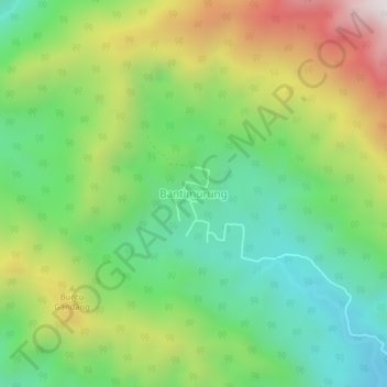
Name: Bantimurung topographic map, elevation, terrain.

Location: Bantimurung, South Sulawesi, Indonesia (-2.56090 120.48168 -2.52090 120.52168)

Average elevation: 465 m

Minimum elevation: 81 m

Maximum elevation: 1,101 m

Other topographic maps

Click on a map to view its topography, its elevation and its terrain.

Bontoala

Indonesia > South Sulawesi > Makassar

Average elevation: 7 m

Gear up for your next adventure:

🔭Compact Binoculars - Lightweight optics for scouting trails and wildlife
🩹Moleskin Blister Pads - Direct protection for painful foot pressure points
🧦Thermal Socks - Warm socks for winter hiking or camping
🧤Thermal Hiking Gloves - Grip-enhanced gloves for cold-weather altitude trekking
🥾Hiking Leggings - Comfortable leggings for outdoor activities

As an Amazon Associate, this site earns from qualifying purchases at no extra cost to you.