Geolocate

Bontoala topographic map

Click on the map to display elevation.

About this map

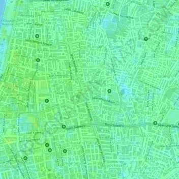
Name: Bontoala topographic map, elevation, terrain.

Location: Bontoala, Makassar, South Sulawesi, Indonesia (-5.13140 119.41872 -5.12777 119.42356)

Average elevation: 7 m

Minimum elevation: 0 m

Maximum elevation: 11 m

Gear up for your next adventure:

🏕️Camping Hammock - Integrated protection for sleeping between trees
🎒Hiking Daypack - Lightweight and durable backpacks for day trips and excursions
🦟Insect Repellent - Keep mosquitoes and black flies away in wooded areas
🧥Fleece Jacket - Warm and lightweight jacket for layering
🧰Emergency Multi-Tool - Compact multi-tool for outdoor survival

As an Amazon Associate, this site earns from qualifying purchases at no extra cost to you.