Geolocate

Hazelwood topographic map

Click on the map to display elevation.

About this map

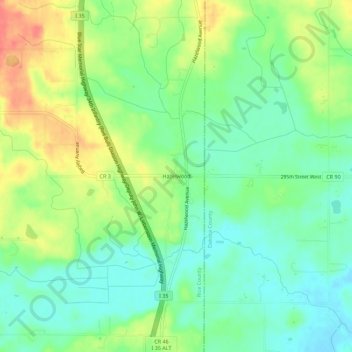
Name: Hazelwood topographic map, elevation, terrain.

Location: Hazelwood, Rice County, Minnesota, United States (44.50246 -93.30605 44.54246 -93.26605)

Average elevation: 316 m

Minimum elevation: 294 m

Maximum elevation: 349 m

Other topographic maps

Click on a map to view its topography, its elevation and its terrain.

Faribault

United States > Minnesota > Rice County

Average elevation: 325 m

Morristown

United States > Minnesota > Rice County

Average elevation: 316 m

Gear up for your next adventure:

🥾Approach Boots - Comfortable boots for hiking and climbing approaches
🗺️Topographic Maps - Detailed maps to explore trails, mountains, and wilderness areas
🧢Outdoor Cap - Protective cap for sun and rain during hikes
🛶Kayak Accessories - Essential gear for safe and fun kayaking adventures
🧥Waterproof Hiking Jacket - Protect yourself from rain and wind while hiking

As an Amazon Associate, this site earns from qualifying purchases at no extra cost to you.