
Dearborn topographic map
Click on the map to display elevation.
About this map
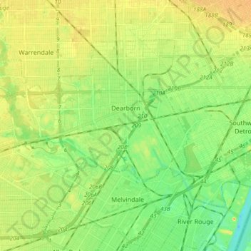
Name: Dearborn topographic map, elevation, terrain.
Location: Dearborn, Wayne County, Michigan, United States (42.27729 -83.28710 42.35192 -83.13972)
Average elevation: 184 m
Minimum elevation: 169 m
Maximum elevation: 199 m
Other topographic maps
Click on a map to view its topography, its elevation and its terrain.