
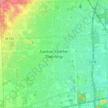
Canton topographic map
Interactive map
Click on the map to display elevation.
About this map
Name: Canton topographic map, elevation, terrain.
Location: Canton, Wayne County, Michigan, United States (42.26246 -83.54755 42.35247 -83.42653)
Average elevation: 214 m
Minimum elevation: 196 m
Maximum elevation: 261 m